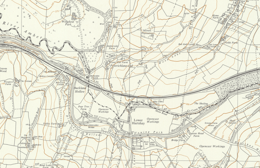

These are dated and probably show when the seams were worked.
Earliest date I can see is in the area of Ballys Pond 1857 and latest is 1930 near Gate Inn.

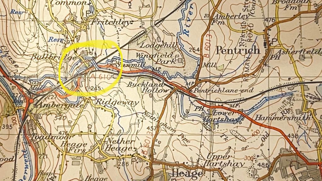
Came across two photos of LH. I am not sure of the age but suggest 1950 to 1970.
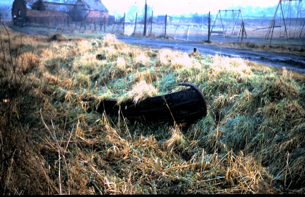
Second is easy as it shows the famous old barge landmark in the canal, but the background is much different now.
First is more obscure and my info says it is taken from Gate Inn. There is a chimley and a house to think about. May be looking Butterley Res direction and if so is well before the A610 and A38 arrived in mid 70’s.